SUBWAY MAPS FOR IPHONE TRAVELLERS
NEWSText: carlos j. gomez
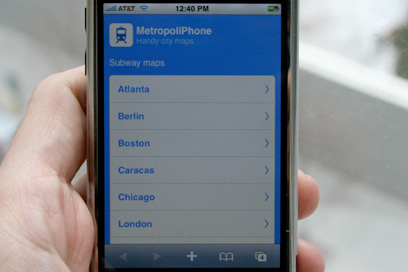
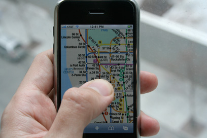
Metropoliphone is a site optimized for the iPhone that provides subway maps at your fingertips for quick reference. Once you open the maps you can zoom and pan them like you do with any other photo, making it easy and fun to view them.
The creator collects the maps of different subway systems worldwide from the transport authority websites of these cities – so you don’t have to look them up. For the launch the cities included are London, New York, Paris, Shanghai, and Tokyo, among many others. More cities are being added regularly and there are plans to include bus maps soon.
Text: carlos j. gomez
[Help wanted] Inviting volunteer staff / pro bono for contribution and translation. Please e-mail to us.